I returned from this city with mixed emotions and a useful brochure.
Recently, while tidying up at home, I came across a city guide to Oxford. I don’t remember if I paid for it or got it for free, but it brings back memories.
This was before the pandemic.
We took a train from London in the morning, spent the day in Oxford, and returned to London with mixed emotions.
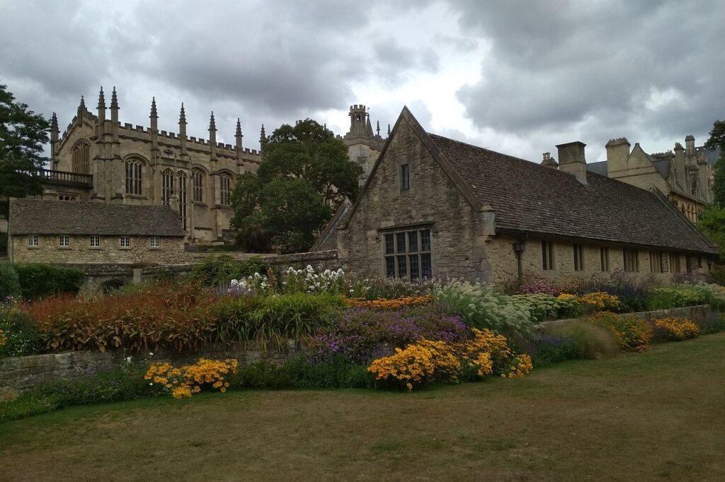
Oxford, like Venice, is a beautiful example of mass tourism, where visitors come just to be able to say, ‘I have been there’. I got the impression that the crowds flocked through the streets, rushing from one famous place to another. However, only a small proportion of people seemed interested in the city’s history and culture; most came to take selfies and visit the ‘Harry Potter college’.

I’m not saying it’s the end of the world — it’s just a bit disappointing.
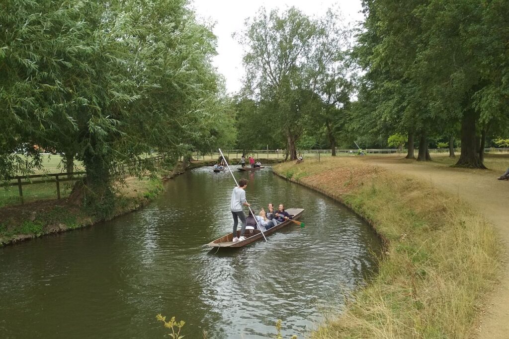
As I said, we only had one day in Oxford. Is that enough time? Of course not. But with the help of this booklet, we managed to plan a pleasant daily programme combining walks, photo opportunities and sitting by the river for a while.
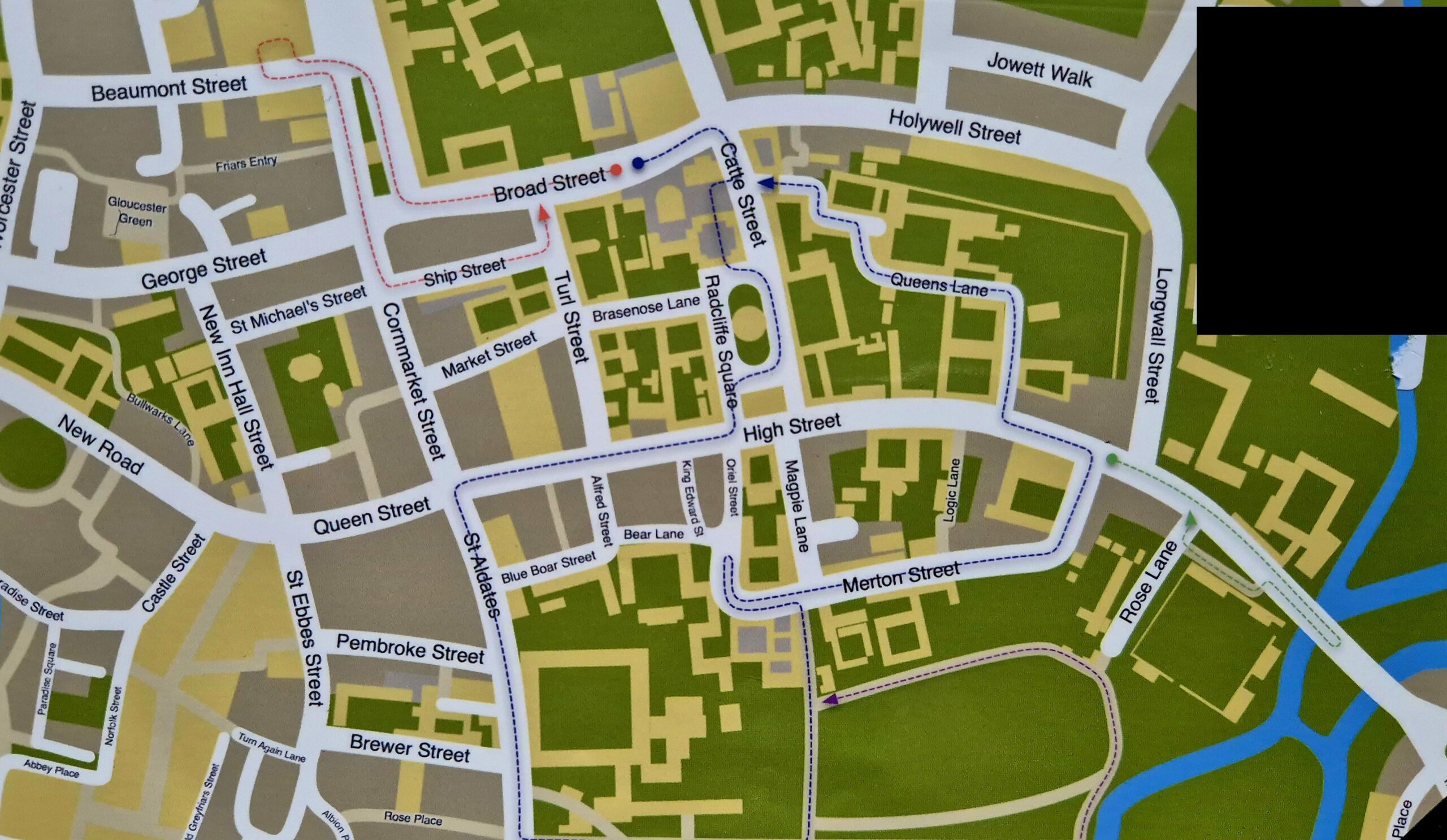
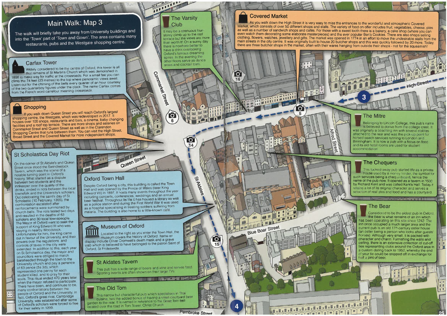
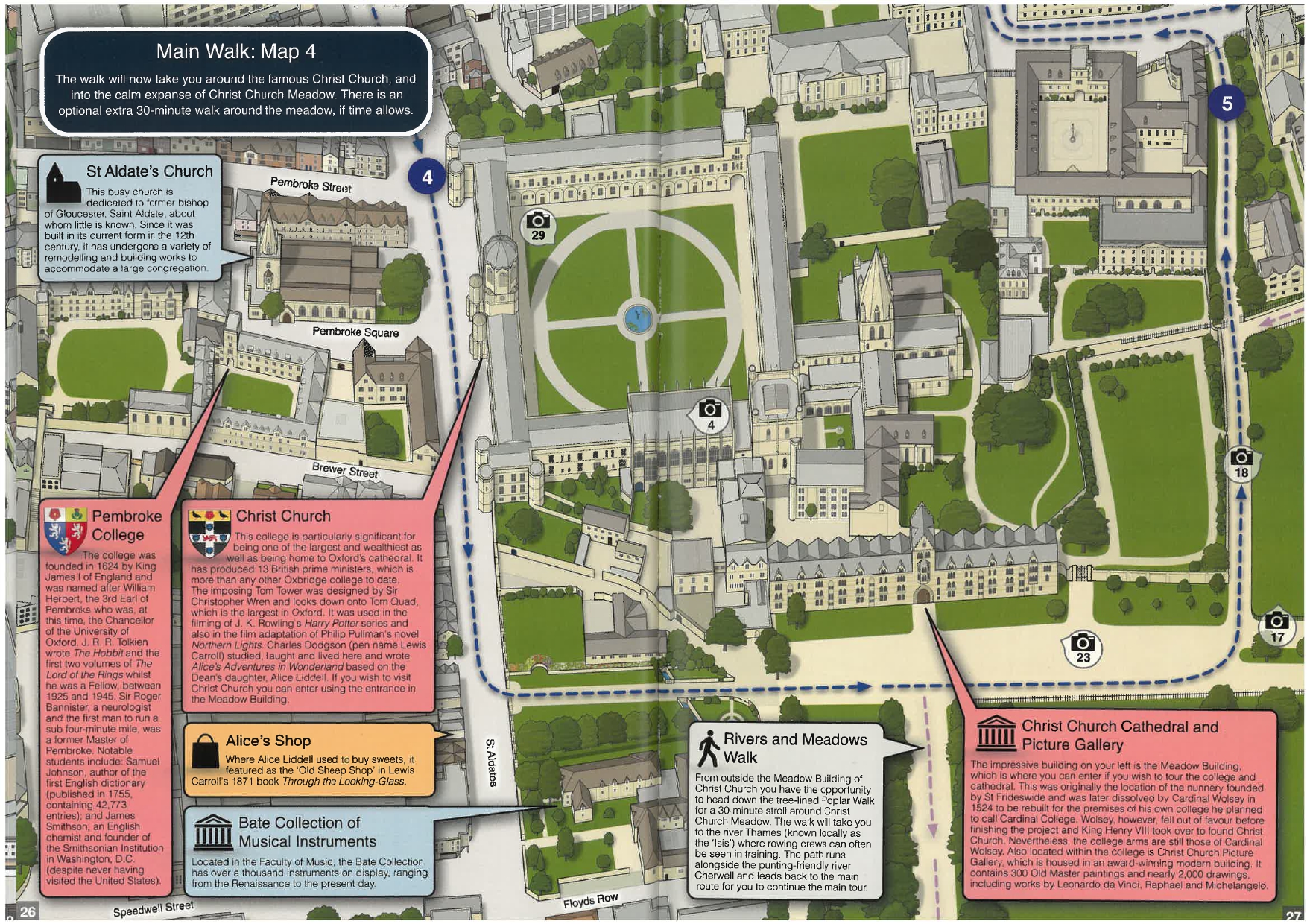
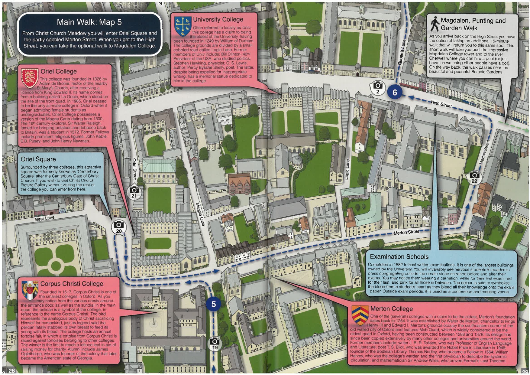
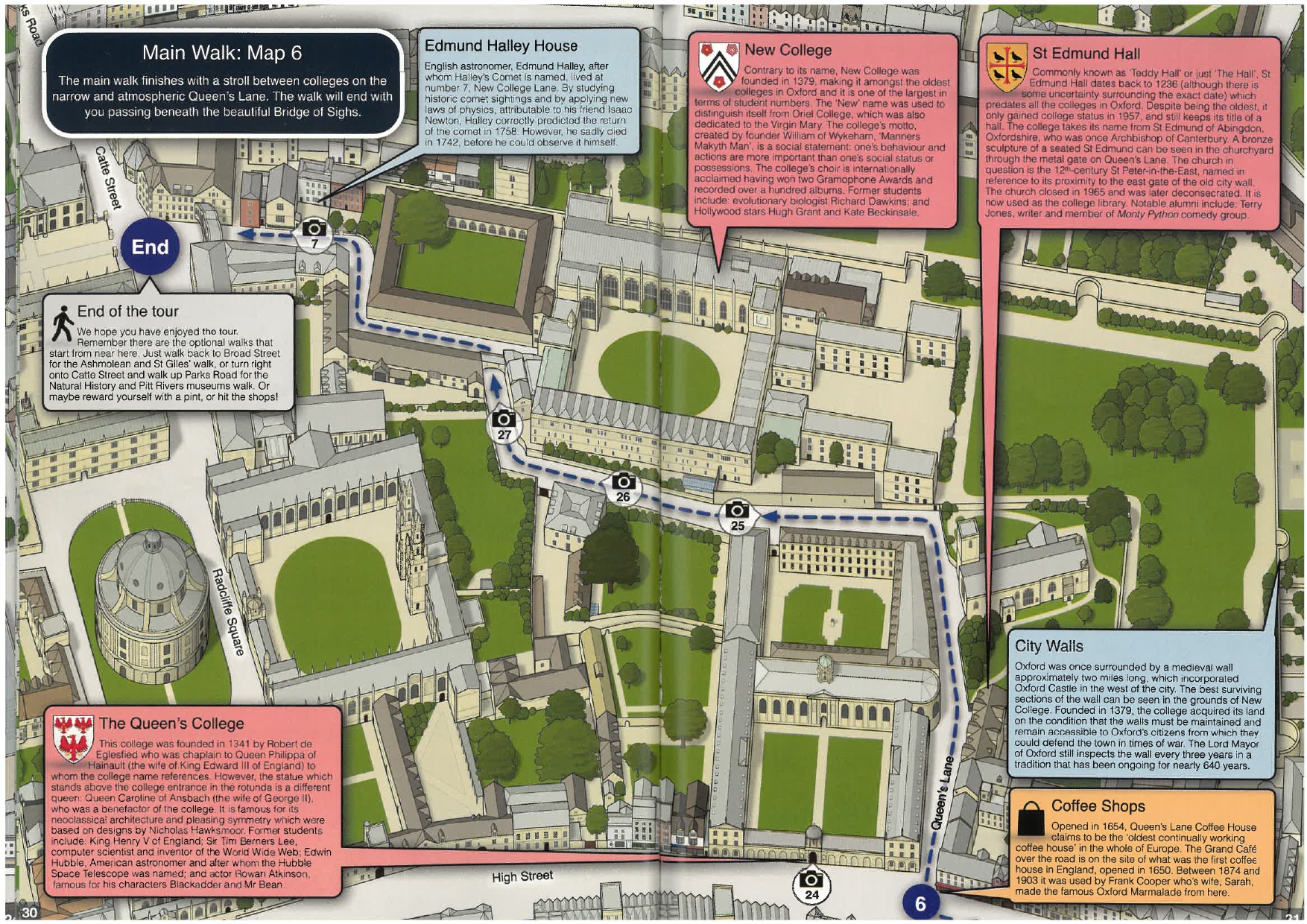
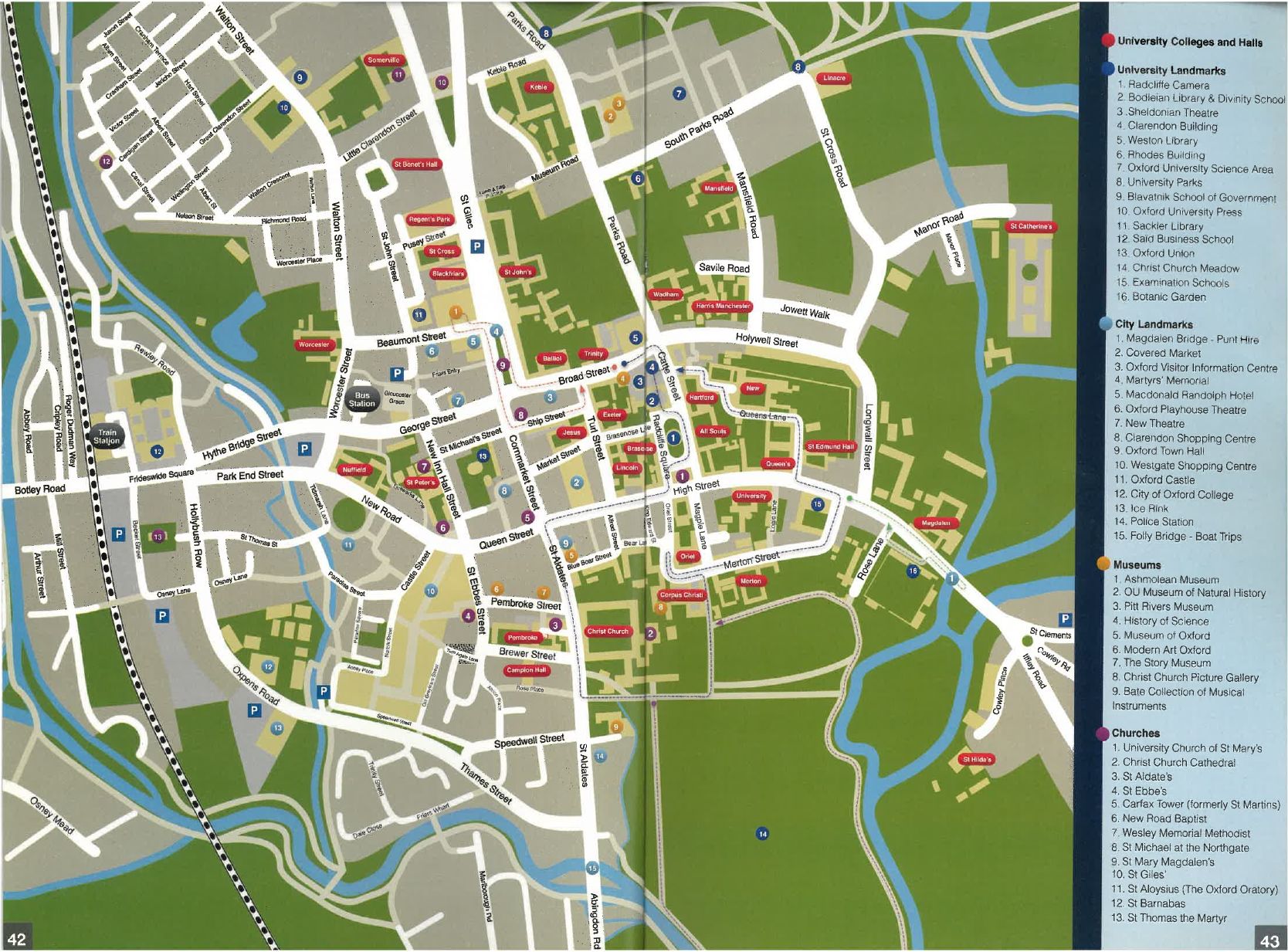
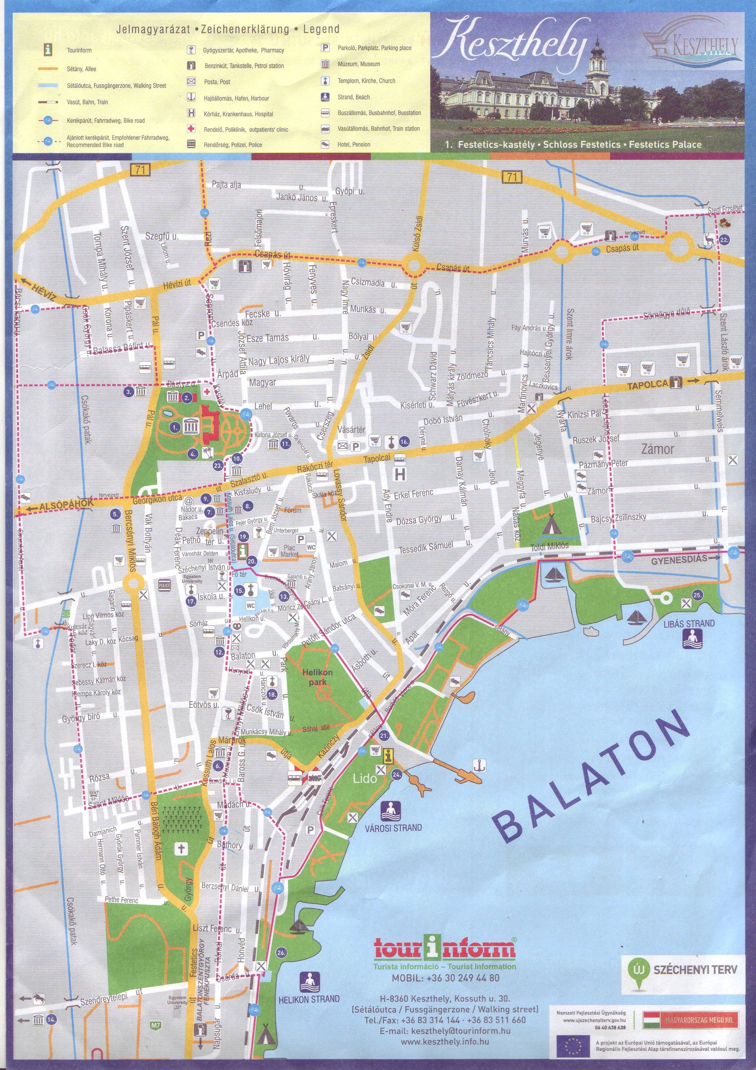
This map helps you to navigate.
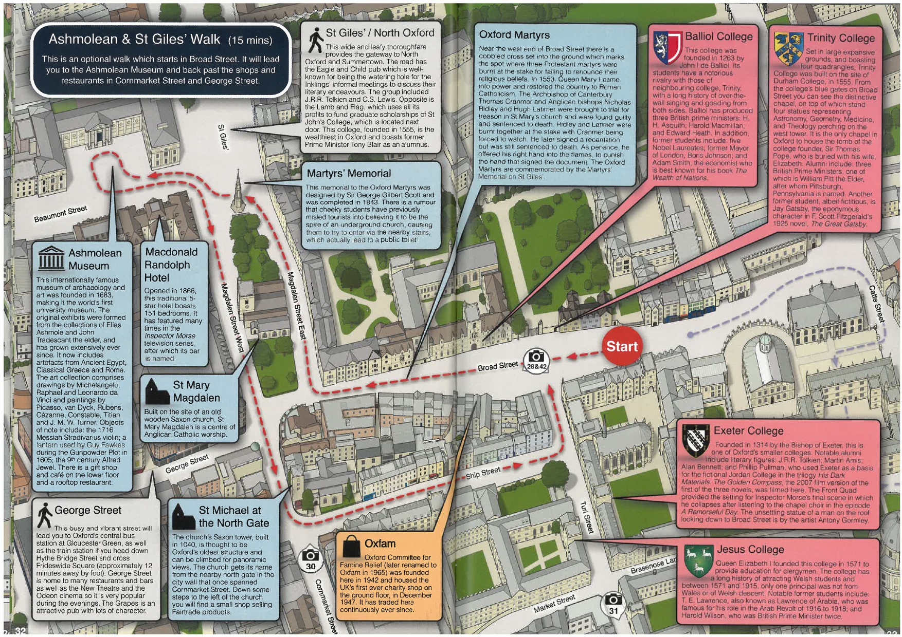
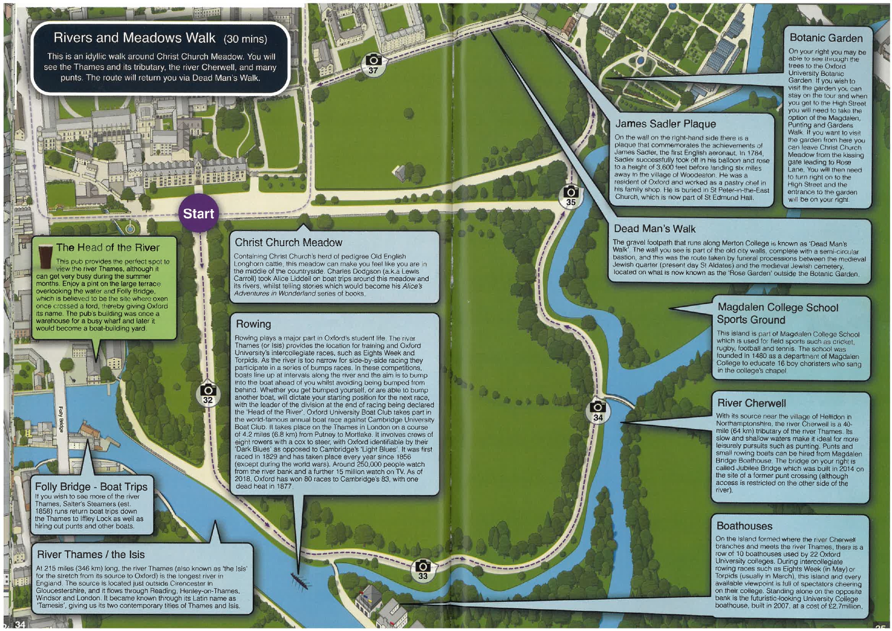
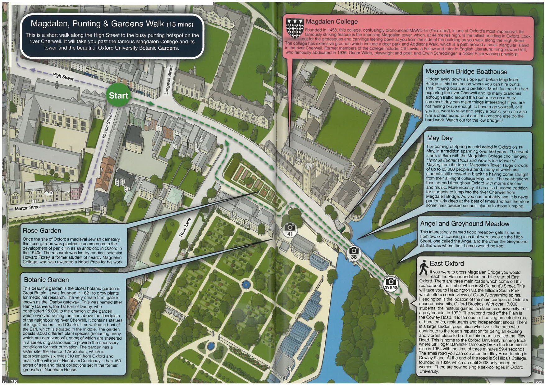
Main walk (6 maps):
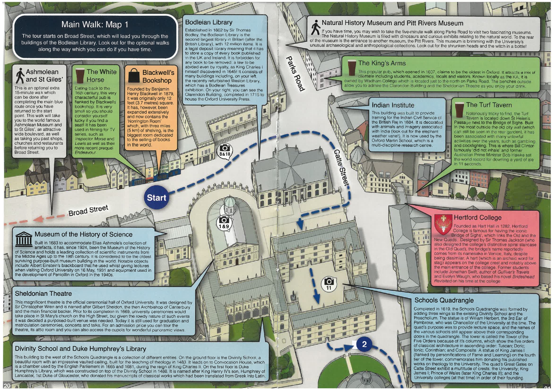

Ashmolean and St Giles
Rivers and Meadows
Magdalen, punting and gardens.
It also shows the locations of university buildings, museums, churches and other landmarks.


